Products & services
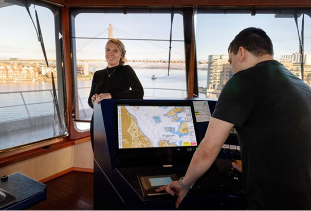
GeoView empowers you to upload your own S-57 maritime charts and maps, seamlessly overlaying them with essential real-time feeds. Stay informed with integrated data such as AIS, radar, GMDSS, and more, giving you a comprehensive view of maritime activity. Plus, GeoView makes it easy to serve vector tiles and web maps, offering flexible and robust mapping capabilities tailored to your operational needs. Experience enhanced maritime awareness and smarter decision-making—all in one powerful solution.